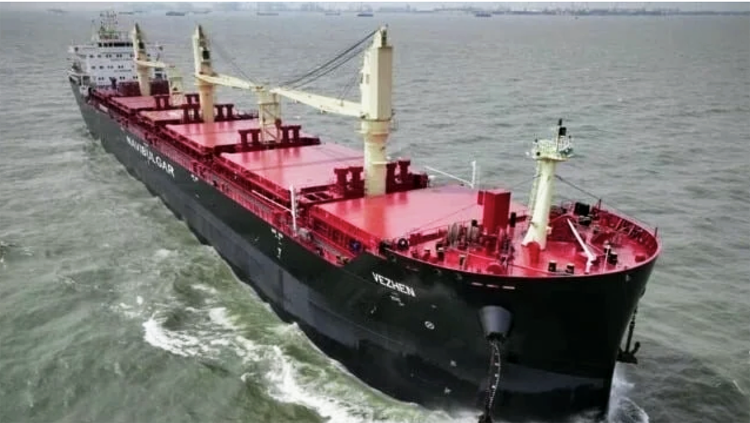
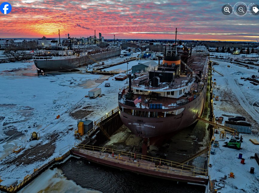
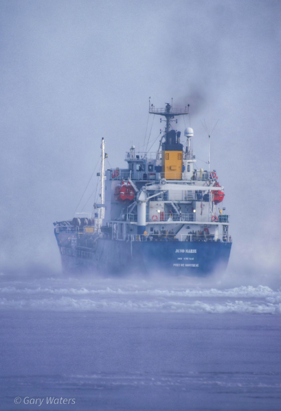
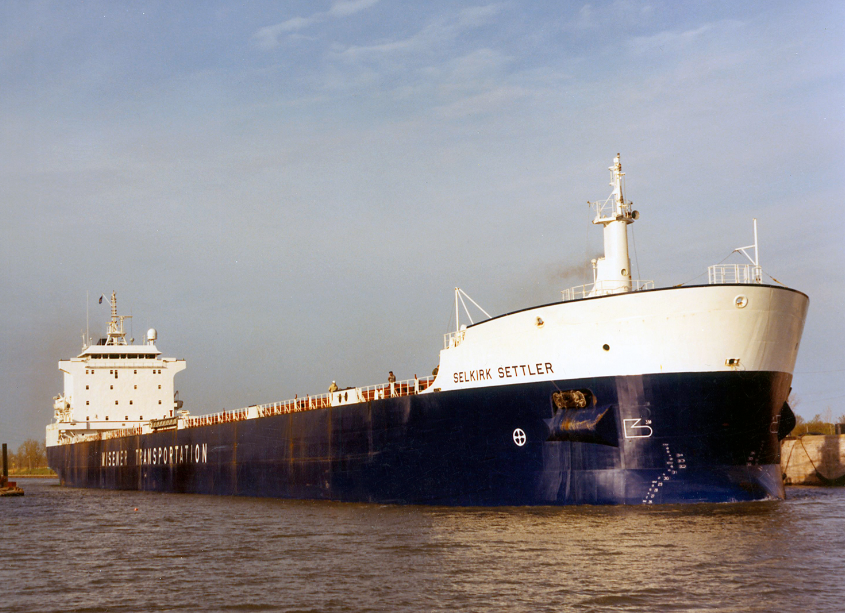
The 2025-2026 winter layup list is now up and running at; https://boatnerd3.jasonbowlerdesign.com/winter-lay-up-list-2025-2026
Stuck saltie stops Seaway traffic
Traffic in the vicinity of Montreal was stopped around 7 a.m. Sunday when the Federal Churchill became stuck in the ice while attempting to exit the St. Lambert Lock. It is blocking at least a dozen ships. Her destination is Spain, coming from Toledo.
Rene Beauchamp
Lakes brace for big storm; possible Bomb Cyclone
Storm-force winds over 60 mph are expected on Lake Superior and other areas of the Great Lakes, with waves forecast to top 25 feet on some of the lakes.
The incoming storm could land as dangerous Bomb Cyclone in part of Michigan.
There is not a lot of traffic on Lake Superior. Late Saturday, Joseph L. Block was tucked in at the southernmost part of the Keweenaw Peninsula off L’Anse. Other vessels were following their normal routes, but that could quickly change.
The forecast details for a major winter storm that will begin to develop over Michigan on Sunday are showing an increasing level of concern that the Upper Peninsula and the tip of Northern Michigan may have to deal with more than just blizzard conditions.
This rapidly deepening low-pressure system moving over this northern part of the Great Lakes could land as a dangerous “bomb cyclone” storm.
What does that mean? MLive Chief Meteorologist Mark Torregrossa has explained that when a storm “bombs out,” the data behind the storm is measured in a way that shows it will be a rapidly-intensifying storm.
“To figure out if a storm is ‘bombing out’ or will just be a strong storm system, we have to look at the lowest air pressure in the center of the storm system,” Torregrossa has said. “To reach the criteria of becoming a bomb cyclone, a storm system’s lowest air pressure has to go lower by 24 millibars(mb) in 24 hours.”
Right now, forecast notes from the National Weather Service in Marquette show this storm system’s air pressure could drop by the 24 millibars needed to reach Bomb Cyclone status.
This typically means we’ll see some really high winds with a storm. In this case, the winds from late Sunday into Monday could reach 60 mph across parts of the Upper Peninsula, and the rest of Michigan.
Storm-force winds over 60 mph are expected on Lake Superior and other areas of the Great Lakes, with waves forecast to top 25 feet on some of the lakes.
Regular blizzard conditions are dangerous for motorists, but add the Bomb Cyclone designation with the heavy snowfall – up to 2 feet – expected for parts of the U.P., and we could see law enforcement asking for travel restrictions during the worst of this storm.
“The worst conditions are expected Sunday night into Monday morning, when the combination of heavy snow and high winds could make travel very difficult to impossible,” the NWS team in Marquette said today.
This storm that will impact Michigan is part of a much larger system that’s overspreading the Great Lakes and beyond. For many, it’s a one-two punch after ice accumulations on Friday led to power outages at thousands of homes and businesses across the state.
AccuWeather forecasters say the Great Lakes are in the bullseye for this Sunday-Monday storm system. They say “all-out blizzard” conditions are likely and travel impacts are expected to be severe.
“There is a good chance the storm will undergo rapid intensification and become a ‘bomb cyclone’ between Sunday afternoon and Monday afternoon over the Great Lakes,” said AccuWeather Meteorologist Brandon Buckingham.
South of this blizzard zone, the Lower Peninsula will see high winds and lesser amounts of snow. Areas of higher snow – 6 to 12 inches – could be seen across Northern Michigan. Lakeshore areas could see higher levels of lake-effect snow, too. Other areas across southern Michigan could see just a trace to a few inches of accumulation.
[M Live – Tanda Gmiter]
Lake Superior saltie season closes
ST. MARYS RIVER – The last two salties left Lake Superior Saturday morning for overseas ports. Navbulgar’s Murgash, followed by BigLift’s Happy Ranger, locked downbound through the Soo Locks after spending the night at anchor in Waiska Bay. The Ranger’s pilot, Capt. Jonathan Hoort, stepped out of the bridge to wave hello to the handful of boatwatching regulars assembled at Mission Point.
Other downbounds Saturday included Walter J. McCarthy Jr. early, Kathy McKeil in the late morning, and John G. Munson, Blair McKeil and Indiana Harbor later. Algoma Strongfield was upbound in the afternoon for Thunder Bay.
There is very little ice in the river and vessels are not having any difficulty. A forecast of severe weather across the Great Lakes, with strong NW winds, freezing rain and snow, will likely send vessels to anchor Sunday and Monday. The Soo Locks close for the season Jan. 15.
[Know Your Ships]
Michigan AG opposes EPA’s new ballast water discharge rules for Great Lakes vessels
Michigan Attorney General Dana Nessel has asked a federal appeals court to strike down federal rules that, she said, put the Great Lakes at risk of invasive species that damage the lakes’ ecosystem and fishing industries.
The court filing challenges the Environmental Protection Agency’s final standards regarding ballast water discharges from large vessels.
Nessel and two other attorneys general say the standards unlawfully weaken longstanding protections that prevent ships from taking on water in areas with invasive species, thereby contributing to their spread.
Nessel said the rules violate a 2018 law, leading to “catastrophic” harms, including for people who live and work on and around the Great Lakes.
“Our communities have already paid the price for these species, and Congress acted to prevent even greater damage,” Nessel said in a statement. “The law is clear, and it is my hope that the court acts now to maintain these protections before another invasive species causes irreversible damage to one of our most important natural resources.”
Ballast water is held in the bottom of ships to provide stability and improve maneuverability. Water is regularly added or discharged to account for changes in the ship’s cargo load. That water can contain non-native species.
According to the National Invasive Species Information Center, ballast water can contain water from multiple ports from across the globe, making discharge one of the most common ways invasive marine species are introduced into new areas.
Invasive species can and have damaged infrastructure, threatened native ecosystems, and harmed the multi-million-dollar sport and commercial fishing industries, Nessel said.
Zebra mussels arrived in the Great Lakes in the late 1980s via ballast water from European and Asian ships, disrupting the lakes’ food chain by outcompeting plankton and algae.
The zebra mussel, native to the Black, Caspian and Azov seas in Eurasia, already costs the region an estimated $200 million every year,
[Detroit News]